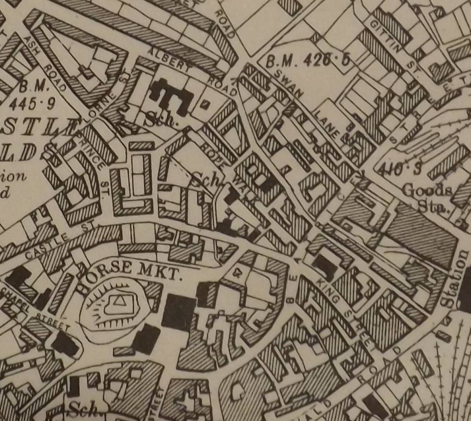
Map of Rope Walk – Notes taken from John Pryce-Jones “Street Names of Oswestry” – The Rope Walk, although developed for industrial housing in Victorian times, began life simply as a place for the manufacture of ropes and is shown as such on the 1838 tithe apportionment map. In the mid-19th century, the works were operated by Mr Thomas McKiernin of Bailey Street. Industrial housing was built on either side of the actual rope walk in the 1860’s; the name came to signify housing rather than industry from about this time. The street was cleared for redevelopment in the early 1960’s”.